- Accueil
- Pages d’histoire
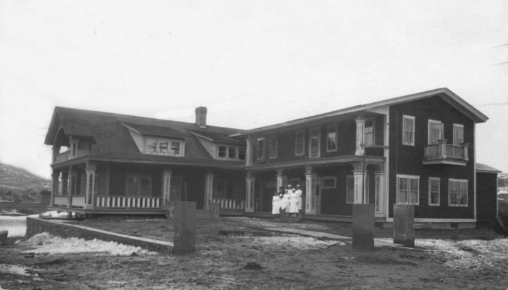
- Bref historique de l’Hôtel-Dieu
- Allez à Madawaska, journal de voyage par Soeur Brissette, 1873
- De Montréal à Madawaska en 1873, par Soeur Maillet
- Lettre de soeur Maillet à Mgr Bourget, 1876
- Commencement de la fondation, récit de soeur Maillet
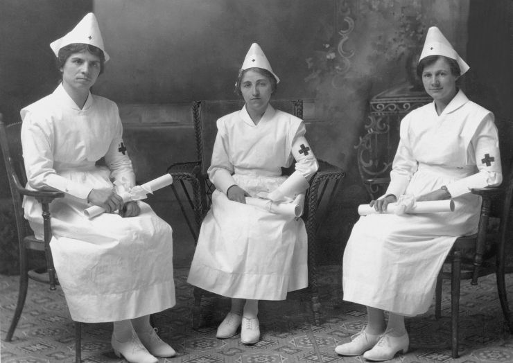
- La grippe espagnole de 1918 à l’Hôtel-Dieu de Saint-Basile de Madawaska, N.-B.
- Expositions de photos
- Biographies
- Histoire en images
- Soeurs décédées
- Patrimoine
- Enseignement
- Évènements
- Nous joindre

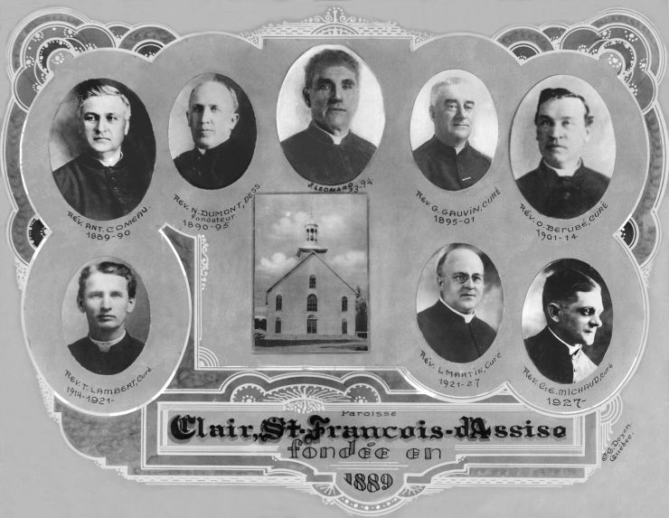
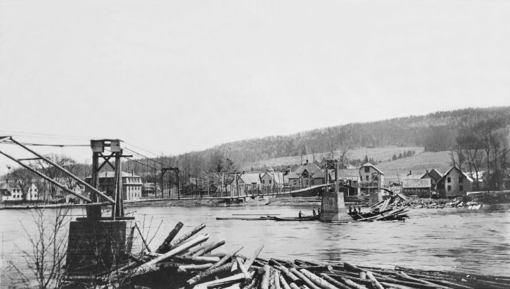
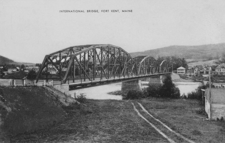
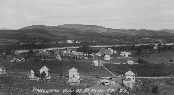
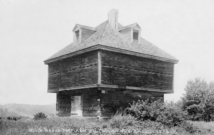
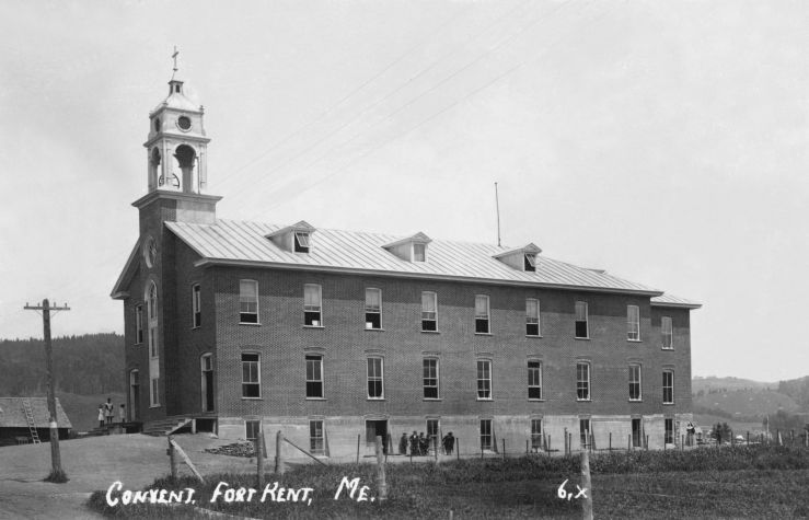
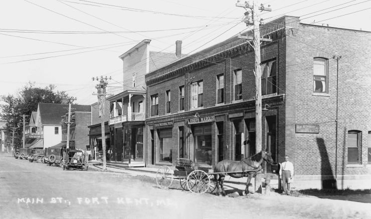
2. Clair et Fort Kent (Maine)
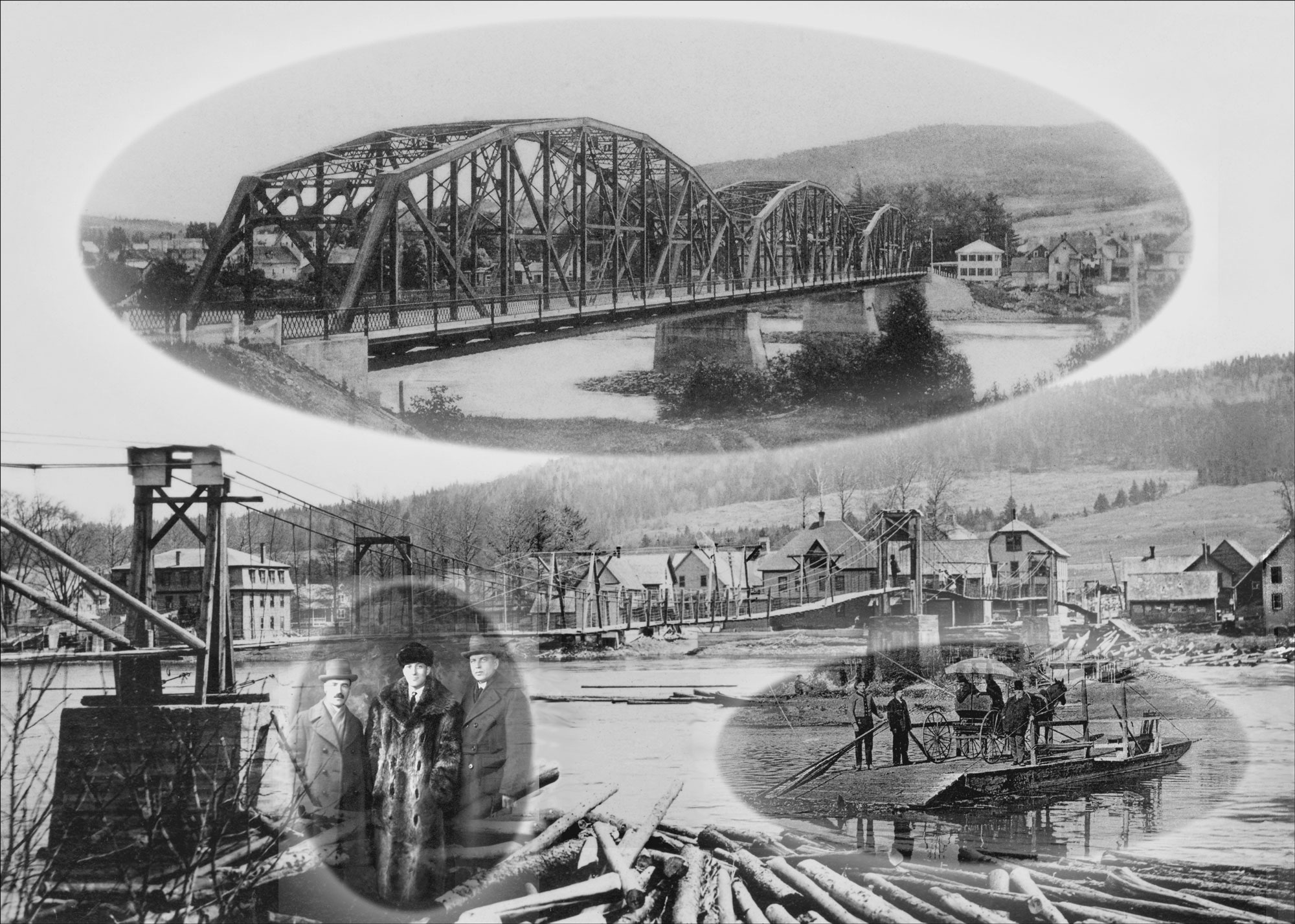
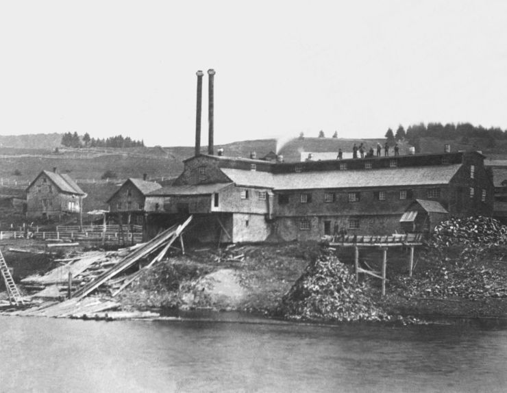
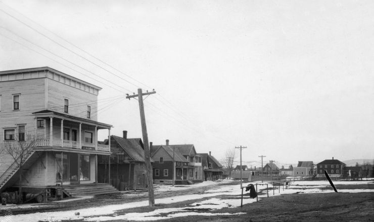
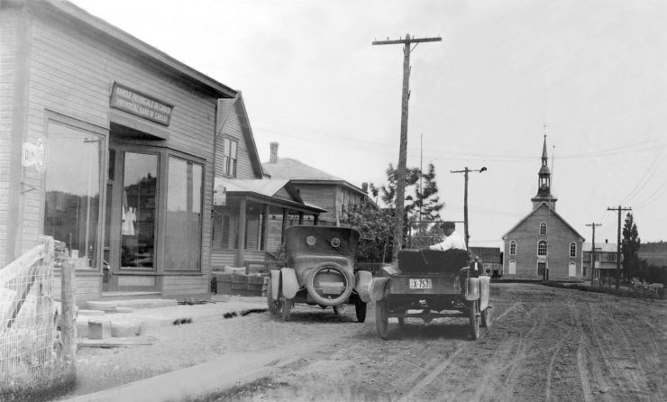
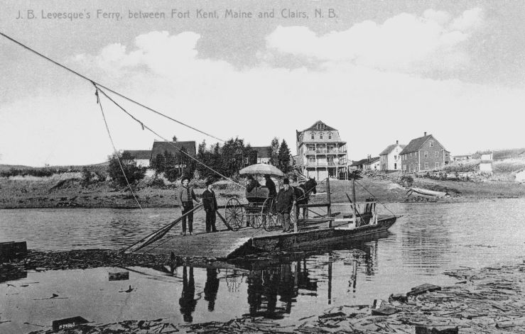
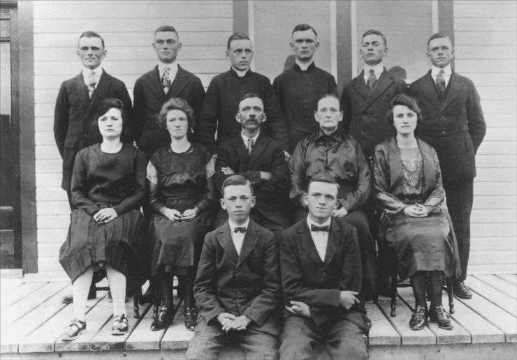
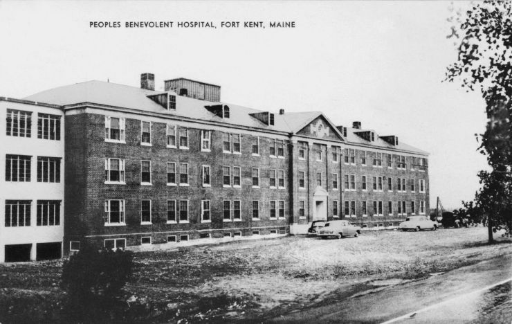
La municipalité de Clair est située sur le côté canadien de la rivière St-Jean, en face de la ville de Fort Kent, au Maine, qui est située près de l’embouchure de la rivière Fish. C’est pourquoi cet endroit fut d’abord appelé la Décharge. Les municipalités de Clair et de Fort Kent se sont développées à peu près en même temps, vers le milieu du 19e siècle. Au début, Clair faisait partie de la paroisse de Saint-François et, à partir de 1885, son adresse fut Middle St Francis. En 1890, Thomas Clair céda au chemin de fer du Témiscouata les droits de passage et de construction d’une gare sur son terrain; après 1893, ce lieu prit le nom de Clair’s. La municipalité de Clair fut incorporée en 1966. Vers 1909, le chemin de fer Bangor & Aroostook relia Fort Kent au reste du Maine. Pendant l’été, les habitants de la région cultivaient leur terre, mais l’hiver beaucoup d’hommes montaient dans les chantiers pour faire la coupe du bois. Un traversier, un pont à piétons étaient en usage, entre Clair et Fort Kent, bien avant la construction d’un pont international en 1929, ce qui facilita de beaucoup les échanges entre le Maine et le Nouveau-Brunswick.


")
")
Évènements

- Accueil
- Pages d’histoire
- Bref historique de l’Hôtel-Dieu
- Allez à Madawaska, journal de voyage par Soeur Brissette, 1873
- De Montréal à Madawaska en 1873, par Soeur Maillet
- Lettre de soeur Maillet à Mgr Bourget, 1876
- Commencement de la fondation, récit de soeur Maillet
- La grippe espagnole de 1918 à l’Hôtel-Dieu de Saint-Basile de Madawaska, N.-B.
- Expositions de photos
- Biographies
- Histoire en images
- Soeurs décédées
- Patrimoine
- Enseignement
- Évènements
- Nous joindre